Precision in Every Task
Learn how Nelson + Pope’s survey accuracy can benefit your project.
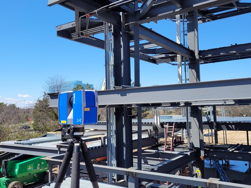
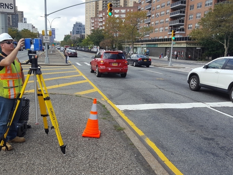
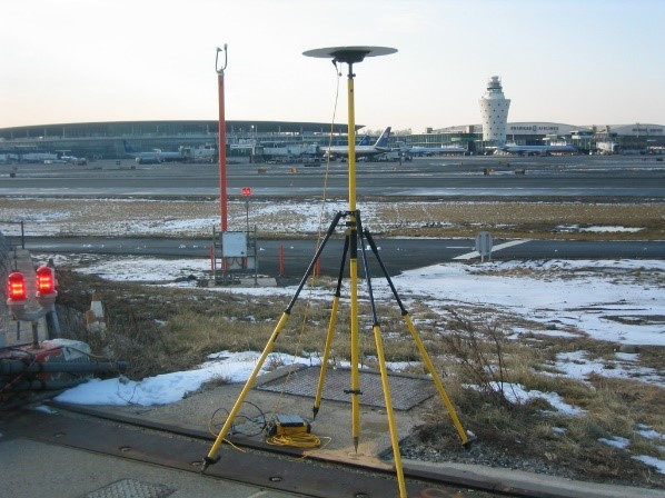
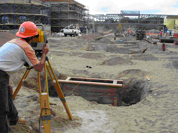
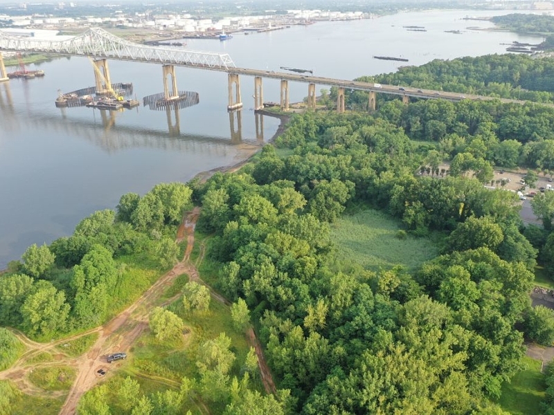
Land surveying and mapping services are an essential part of your project. For over 65 years N+P has been providing these services on Long Island, in New York City and in the Metropolitan area. We have amassed a tremendous library of land records over this time which has proven to be integral part in moving projects forward. The teams licensed professional surveyors have many years of practical experience and are among the most well-known and well-respected in the metropolitan area. Committed to staying in the forefront of the industry N+P has vast knowledge and understanding in the field and utilize state-of-the-art equipment including 1” robotic total stations, GPS (Global Positioning Systems) , LiDAR with Terrestrial 3-D Laser scanners, Digital Levels with Invar Rods, and field to finish methodology ensuring accuracy and precision of the work. This all combined allows the firm to provide a professional work product quickly and with accuracy.
Learn how Nelson + Pope’s survey accuracy can benefit your project.